A recent social media post by the Israel Defense Forces (IDF) has triggered a wave of backlash in India after it appeared to show Jammu & Kashmir as part of Pakistan.
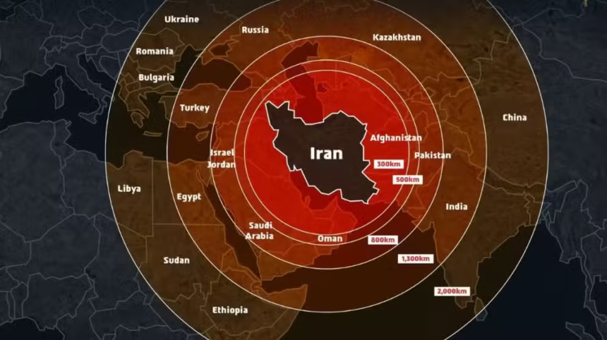
The map, shared to illustrate the missile range of Iran amid rising tensions between Iran and Israel, unintentionally stirred diplomatic controversy. Indian users were quick to spot the error, voicing strong disapproval across various platforms.
India, which shares close strategic ties with Israel, saw many citizens and commentators demanding an immediate correction and official explanation. The post was widely criticized for its inaccurate representation of sensitive territorial boundaries.
In response to the backlash, the IDF issued a public clarification, stating:
“This post is an illustration of the region. This map fails to precisely depict borders. We apologize for any offense caused by this image.”
The incident has highlighted the delicate nature of geopolitical cartography, especially when shared by official military accounts, and underscores how digital content can carry significant diplomatic weight.